B.C.’s coastal communities can now look over the horizon to identify the risks posed to their waters by offshore marine shipping.
“We need to think of a range of measures we can take to protect our coast,” said marine policy researcher Rachel Stewart-Dziama, who grew up in Ucluelet.
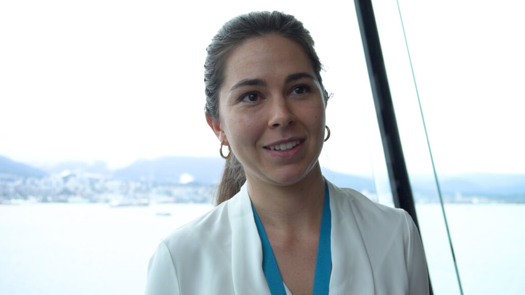
“There are 50,000 ships working the world’s oceans, out of sight of land, and it’s hard to know what’s going on. The west coast of Vancouver Island is not called the Graveyard of the Pacific for nothing.”
Headline-grabbing incidents like the Zim Kingston disaster, a ship that caught fire in 2021 near Victoria after losing containers overboard in a storm, are just part of the story.
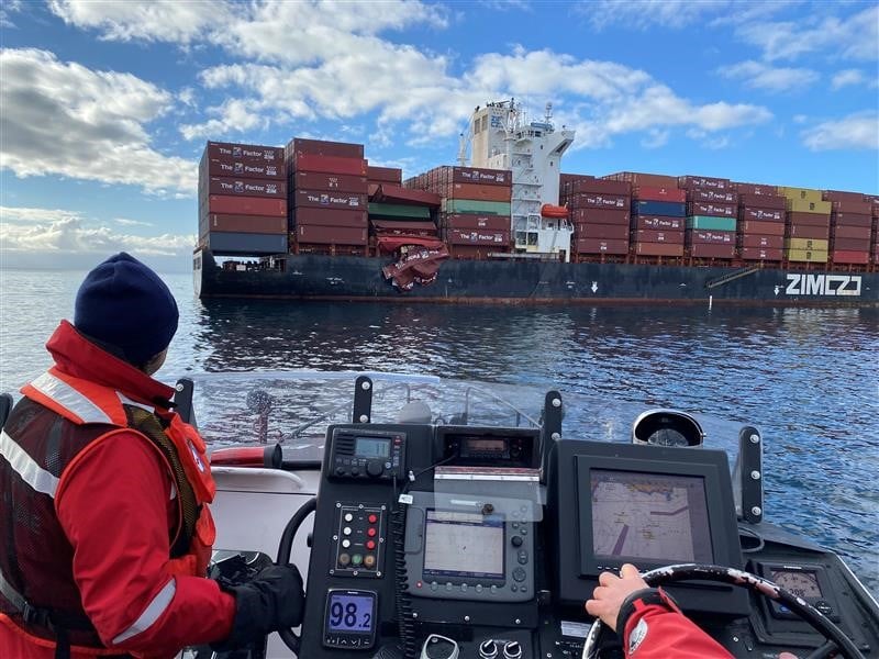
Equally critical are the day-to-day incidents, small spills, and near misses that can have serious long-term cumulative impacts.
Now, thanks to work done by Stewart-Dziama and colleagues at Vancouver’s Clear Seas Centre for Responsible Marine Shipping, coastal residents can use a digital dashboard to overlay actual shipping movements with data on sensitive coastal habitats.
“The idea is to democratize access to the data,” she said, “so that communities can take a look at what’s happening in their backyard and really understand where the risks are and what the benefits are.”
“Then [communities] can decide if they’re comfortable with the risk and be in a position to advocate for themselves,” she explained.
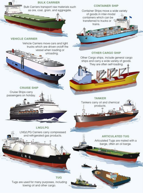
On the Clear Sea maps, heavily-travelled marine shipping routes into the Strait of Juan de Fuca display the distinctive tracks of cruise ships, container ships, bulk carriers, cargo vessels, tugs and ferries, some veering close to very sensitive marine ecosystems.
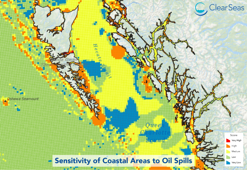
The dashboard was introduced to a global audience at a session of IMPAC5, an international conference on marine protected areas held in Vancouver.
The detailed and up-to-date information will allow communities to monitor incidents at sea and analyze them both by the risks they pose to the environment and the type of vessel involved, from cruise ship to tug boat.
Once the risks are known, says Stewart-Dziama, more protection can be put in place. Solutions could range from improved emergency towing services to better navigational aids.
Stewart-Dziama believes that conservation efforts must go hand in hand with an economic strategy that recognizes the realities of global trade and the risks that trade can pose to our coastal waters.
“I grew up in Ucluelet with the logging industry and commercial fishing, both of which had significant issues from an environmental standpoint, but employed a lot of people. When those industries disappear, it’s challenging for communities to survive. You need to reinvent yourself, which is a scary process,” she said.
“But we also really need to protect our oceans and make sure we can take our grandkids to see the beach and all those wonderful areas that Canada has to offer.


